AES-Montrose prepares maps and graphics for reports, presentation boards, PowerPoint presentations, and web pages, using a variety of computer programs including Adobe Illustrator, Arcview, and Autocad. Our services also include data acquisition and data management using Geographic Information System (GIS) technologies, for the purpose of spatial analysis, surface area calculations, mapping, and modeling of topographical and hydrological phenomena. We incorporate Computer Aided Design (CAD) drawings for use in analyses and overlay, and utilizes Global Positioning System (GPS) data for use in environmental analysis.
Project Examples
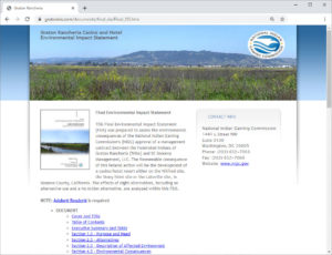
Graton Rancheria EIS
www.gratoneis.com
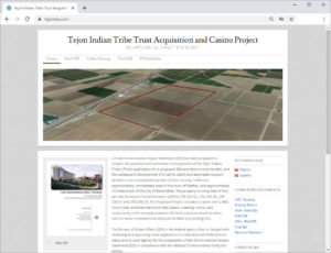
Tejon Indian Tribe EIS
www.tejoneis.com
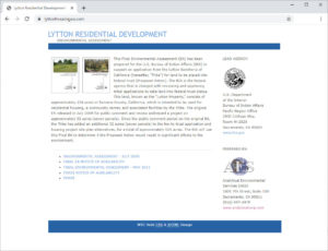
Lytton Residential Development EA
www.lyttonhousingea.com
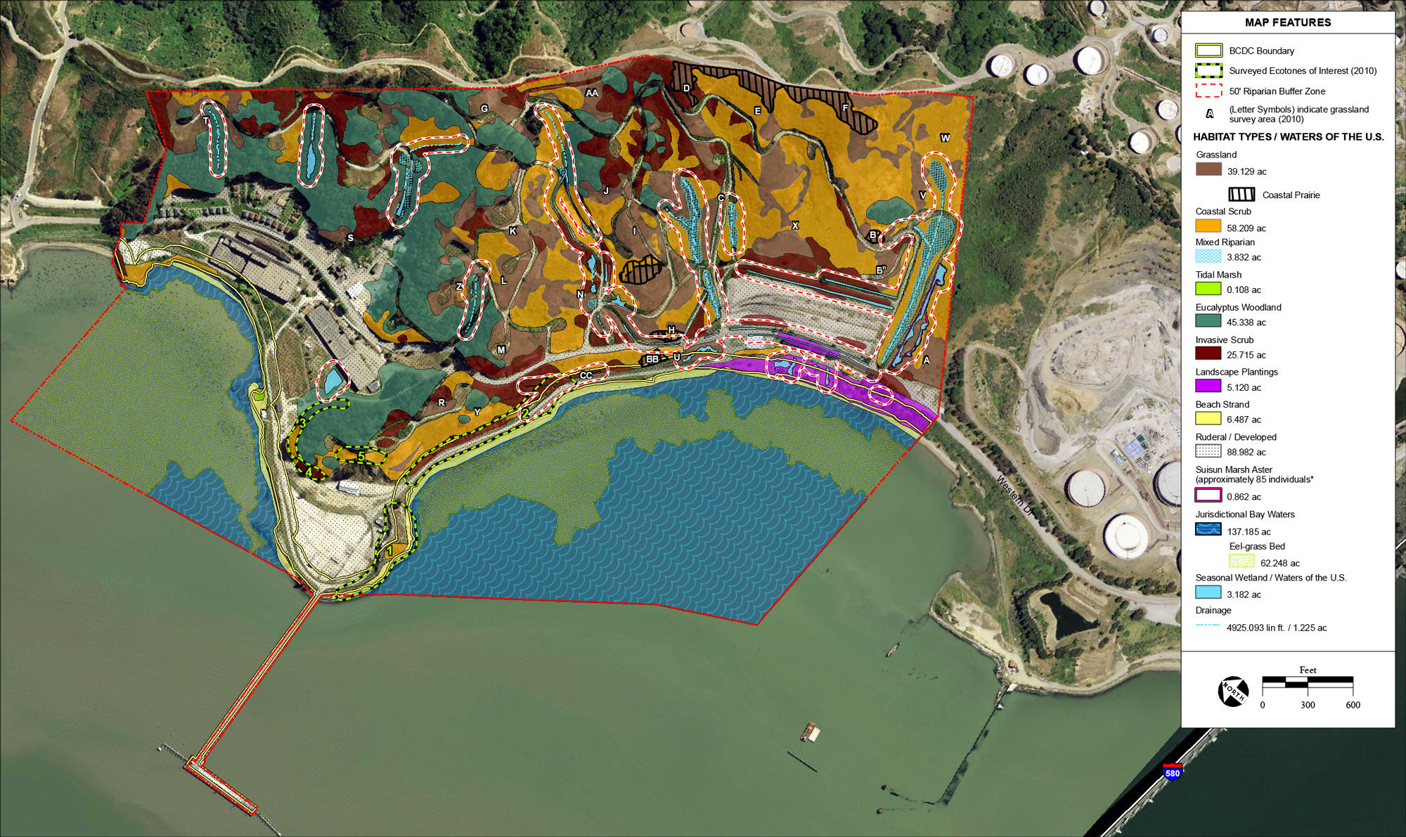
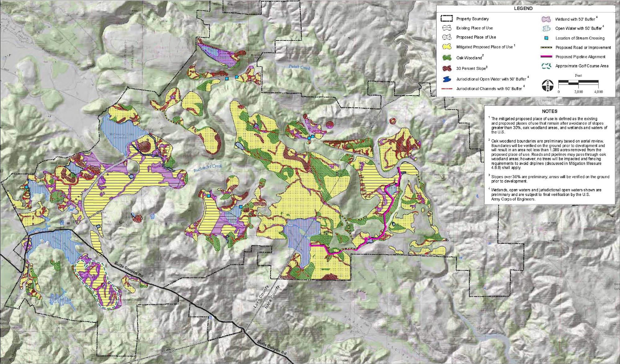
Habitat GIS Survey
View Report
Mitigated GIS Survey
View Report
Contact Us
 Dana Hirschberg
Senior Graphic Designer
With 20+ years experience Dana Hirschberg is a senior graphic designer with knowledge and experience with geographic Information systems, graphic presentation software including Microsoft, Adobe CS, AutoCAD, ESRI ArcView and database design. Responsible for all graphic depictions of information contained in AES-Montrose environmental documents for a variety of local, state, and federal agencies, as well as an array of private clients and a background in internet web development and programming …
Full Resume